Baxter
- Nearest town
- Shell Knob, MO · 5.7 mi
- Elevation
- 928 ft
- Coordinates
- 36.56694, -93.50139
About this place
Baxter is a spacious and sunny campground that sits along the White River Arm of Table Rock Lake.
The highly productive fishing waters of the White River Arm will appeal to anglers, while the Baxter full-service marina offers everything a boater needs from fuel to fishing licenses.
Recreation
Whether on water or land, Baxter Campground offers visitors countless recreational activities. Picnicking, swimming, scuba diving, boating, fishing, hiking and wildlife viewing are all popular pastimes at the park.
Water sports including tubing, wakeboarding and water skiing are extremely popular on the deep, clear, beautiful waters of Table Rock Lake. The Baxter marina provides rentals from ski boats to life vests, meeting any of your recreation needs. While the lake boasts an abundance of crappie, catfish, and bluegill, Table Rock is most famous for bass, and is acclaimed as one of the best bass fishing lakes in this hemisphere.
Table Rock Lakeshore Trail, about 2 miles long, runs from the Dewey Short Visitor Center to the Table Rock State Park Marina. During the spring hikers will see dogwood, serviceberry and redbud trees in bloom as well as many wildflower species. During the autumn months, visitors are treated to nature's colorful fall foliage. The trail also offers beautiful views of Table Rock Lake.
Other hiking and mountain biking opportunities are available at the Mark Twain National Forest, parts of which are easily accessible from the campground. Click here for more information.
Facilities
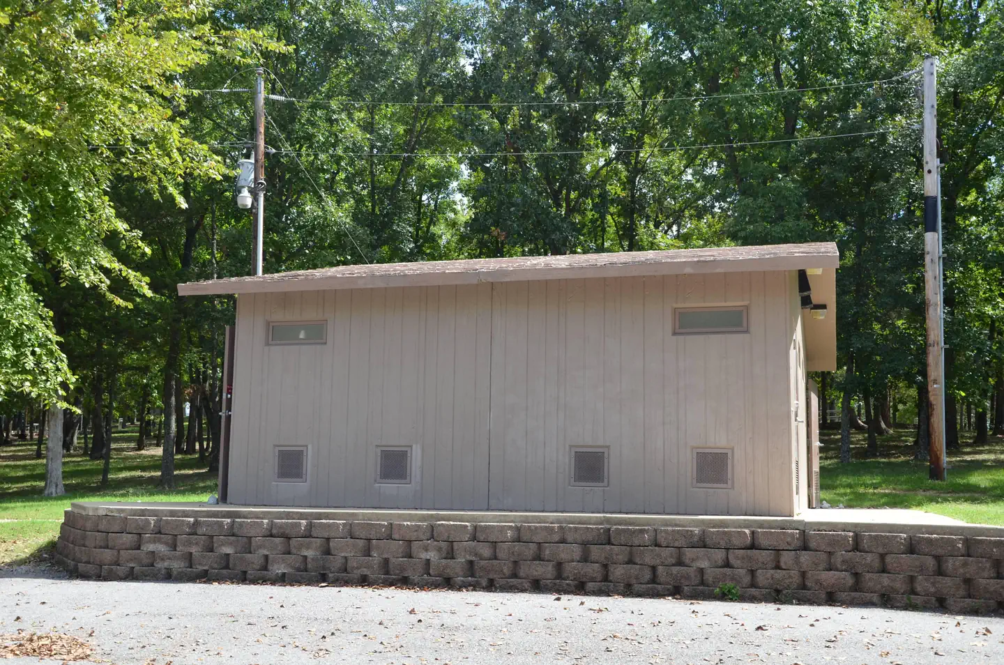
Baxter Campground offers 54 reservable sites. Amenities like hot showers, drinking water, a dump station and electric hookups create a comfortable camping experience.
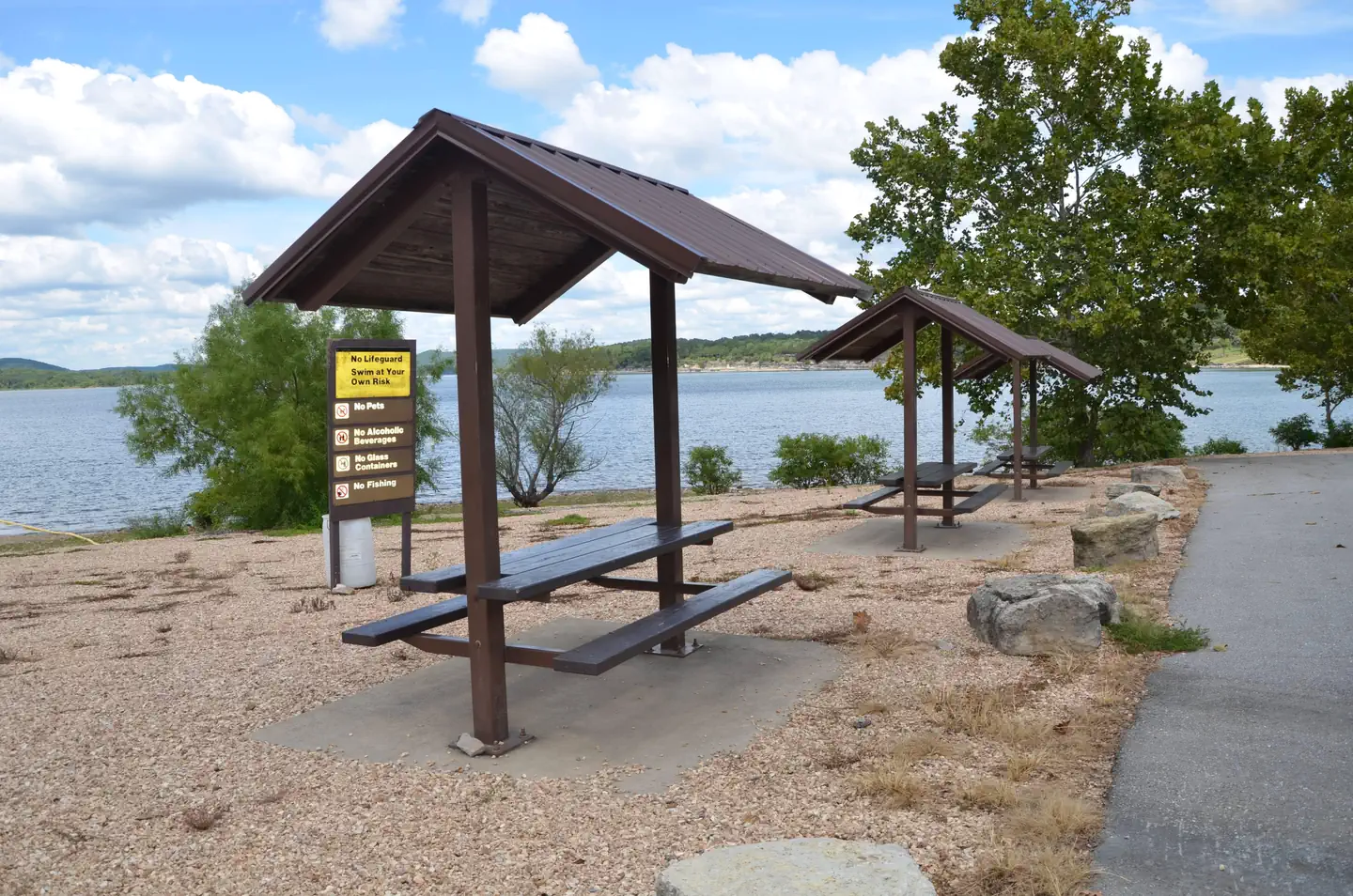
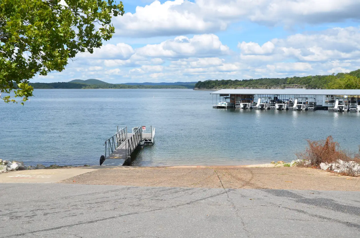
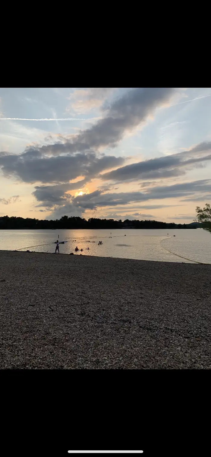
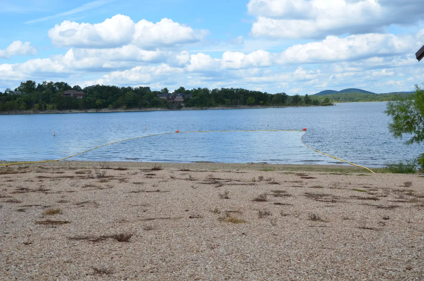
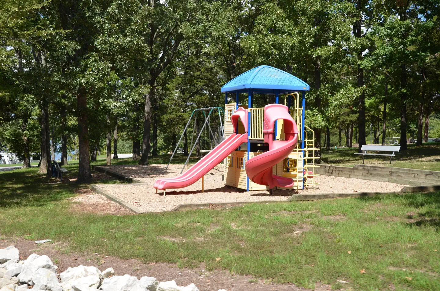
A swim area, boat ramp, playground and nearby full-service marina make the campground perfect for family trips.
Natural Features
Table Rock Lake is a beautiful body of water surrounded by a forest of oak and hickory trees. Its waters wind down through the valleys and hollows of the Ozark Mountains, from Branson, Missouri to Eureka Springs, Arkansas.
More than five million visitors per year take advantage of this recreational oasis. Originally built for flood control, the Table Rock Dam has created a lake that boasts 779 miles of shoreline for the public to enjoy.
Nearby Attractions
The Dewey Short Visitors Center is located at the south end of Table Rock Dam. It offers three educational films focused on the history of the dam, the story of Lewis and Clark and the history of eagles and their endangerment in the state of Missouri. The visitor center also contains exhibits on the natural history of the area. Baxter Campground is only 23 miles from Branson, Missouri, which offers grocery stores, gas and additional tourist attractions.
Services
What you can do here
A dotted outline means nobody has told us either way. It is not a no — it is an honest gap, and the fastest way to close it is a traveller who has been there.
Rates
What it costs
Peak season, May 1, 2026 to September 15, 2026. Outside those dates the site may be closed or priced differently.
| Site type | Per night |
|---|---|
| Standard Nonelectric | $16.00 |
| Standard Electric | $25.00 |
Recreation.gov booking system · read Aug 19, 2026. Fees change; the booking page is authoritative.
The details, and where each came from
Everything we know
- ADA accessible
- No
- Back-in spaces
- 54
- Campfires allowed
- Yes
- Dump station present
- Yes
- Electric hookup (amps)
- 50
- Fresh tank fill
- Yes
- Longest rig that fits (ft)
- 102
- Number of campsites
- 54
- Pets allowed
- Yes
- Phone number
- (417) 779-5370
- Potable water
- Yes
- Reservable
- Yes
- Water hookup at site
- Yes
If this one is closed
Other dump stations nearby
| Location | Distance | Confidence |
|---|---|---|
| Campbell Point | 3.4 mi | Limited confidence |
| Mill Creek (missouri) | 3.8 mi | Limited confidence |
| RV Dump Station | 3.9 mi | Limited confidence |
| Viola | 5.2 mi | Limited confidence |
| Aunts Creek | 7.7 mi | Limited confidence |
Photos
What it looks like

Last updated Aug 19, 2026.